Overview of the planned six-lane underpass construction area in West Hanoi
The Hanoi People’s Committee has approved a project to build a 6-lane underpass at the Me Tri – Duong Dinh Nghe – Ring Road 3 intersection, one of the long-standing traffic congestion “hotspots” in the western area of the capital.
After more than 5 months since commencement, the underpass project at the Thang Long Avenue – Ring Road 3.5 intersection has officially entered the tunnel excavation phase, marking an important step forward in completing the transport infrastructure in Hanoi’s western area.
On the morning of October 4th, the Hanoi People’s Committee held a groundbreaking ceremony for the Co Linh intersection underpass project. This is one of the key projects launched by Hanoi to celebrate the anniversary of the capital’s liberation on October 10, 1954 – October 10, 2025.
The project to invest in and build an underpass at the Co Linh intersection (Long Bien district) is scheduled to commence next October and is expected to resolve the traffic bottleneck for the capital’s eastern gateway area.
Hanoi People’s Committee
The Hanoi People’s Committee, also known as the Hanoi City Hall, is the headquarters of the municipal government. The building, a striking example of French colonial architecture, was constructed in the early 20th century (completed around 1906) and originally served as the Hotel de Ville (City Hall) for the colonial administration. Today, it remains a prominent administrative landmark and a symbol of Hanoi’s historical layers, though it is not open to the public for tours.
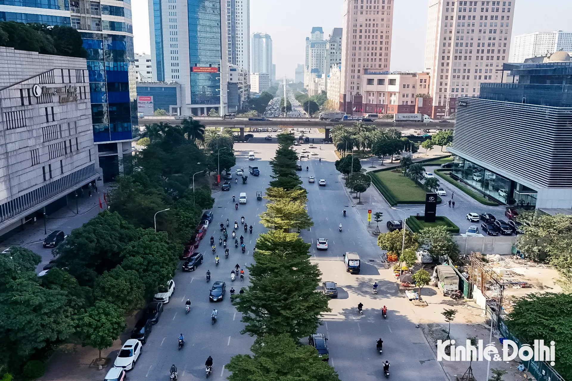
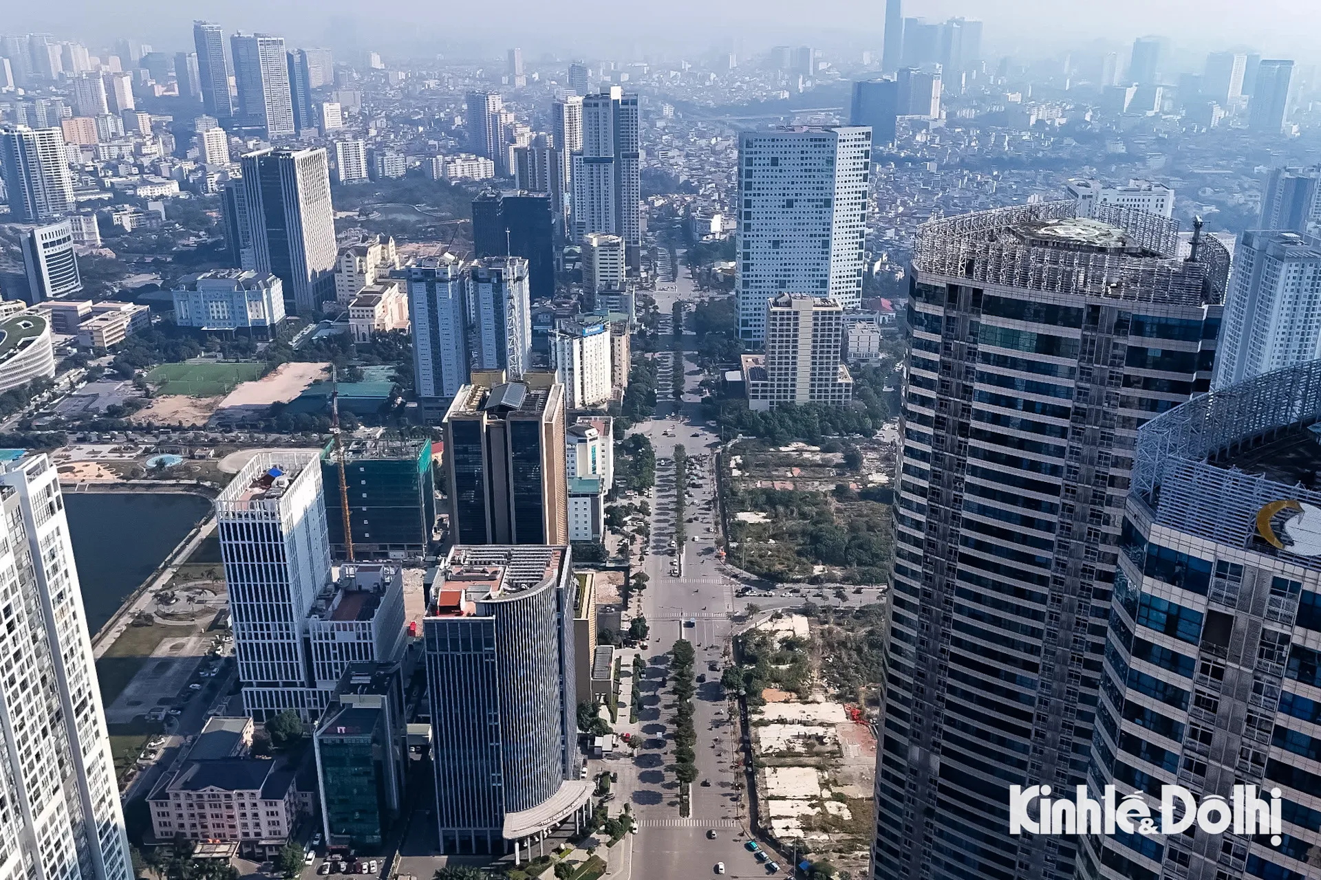
Me Tri – Duong Dinh Nghe – Ring Road 3 intersection
The Me Tri – Duong Dinh Nghe – Ring Road 3 intersection is a major modern transportation hub in the Nam Tu Liem district of Hanoi, Vietnam. Its name references the historical figure Duong Dinh Nghe, a 10th-century Vietnamese governor and military commander who led a rebellion against Chinese rule. Today, the intersection is a key part of the city’s infrastructure, connecting several important thoroughfares to alleviate traffic congestion.
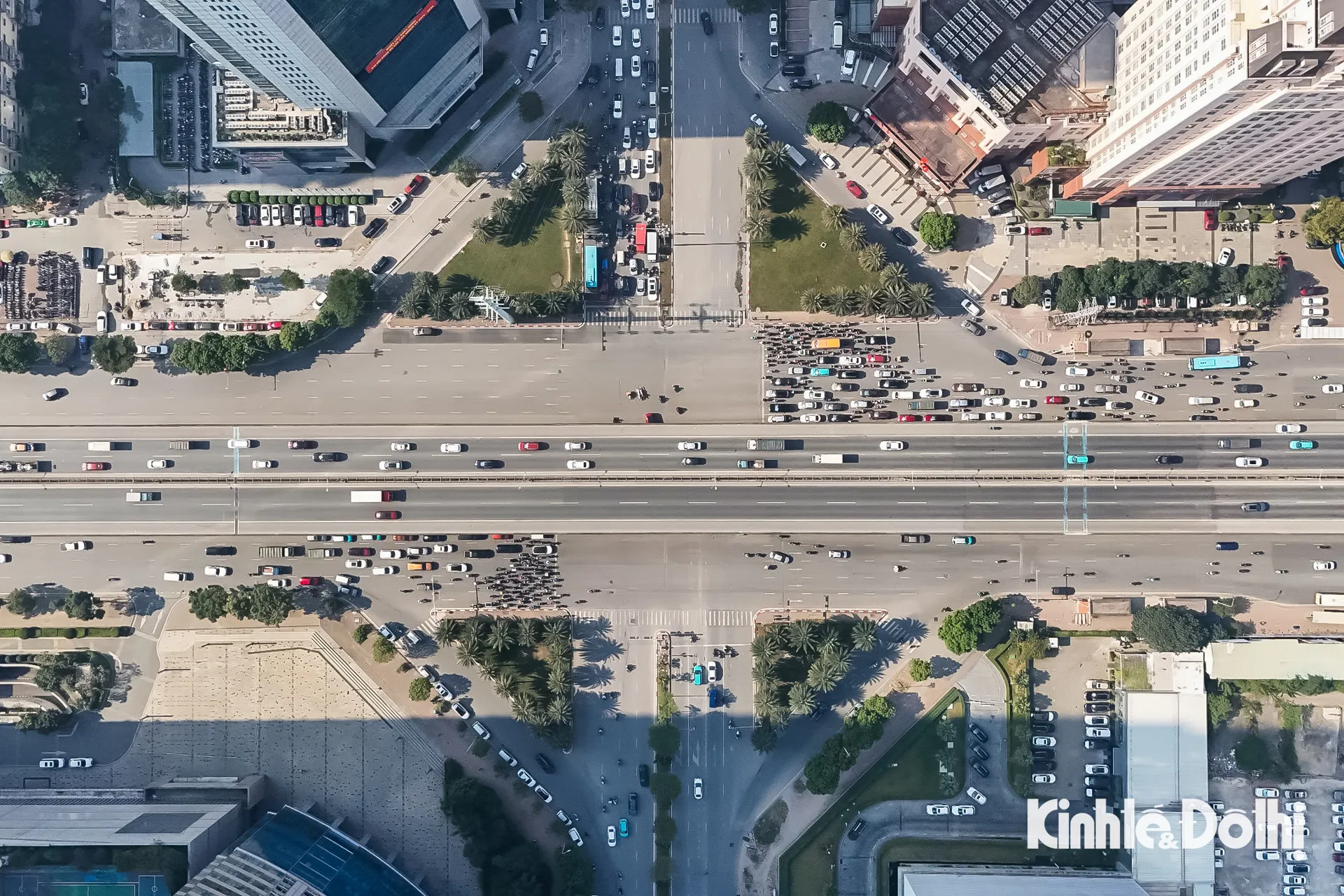
Thang Long Avenue – Ring Road 3.5 intersection
The Thang Long Avenue – Ring Road 3.5 intersection is a major modern transportation hub in Hanoi, Vietnam. It was developed as part of the city’s ongoing infrastructure expansion to alleviate traffic congestion and improve connectivity between the capital and its western regions, including the route to Noi Bai International Airport. While not a historical site itself, it lies within the greater area of Thang Long, the ancient name for Hanoi, which has been the political center of Vietnam for over a thousand years.
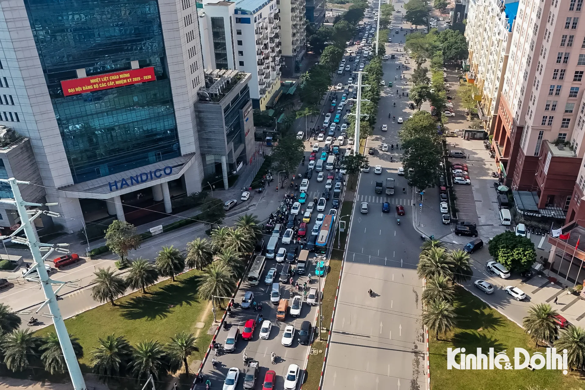
Co Linh intersection
“Co Linh intersection” is not a widely recognized historical or cultural site in major international references. It is a major traffic intersection in the Long Biên district of Hanoi, Vietnam. The area is historically significant as part of the route to the nearby Long Biên Bridge—a critical structure originally built during the French colonial era and later heavily defended during the Vietnam War.
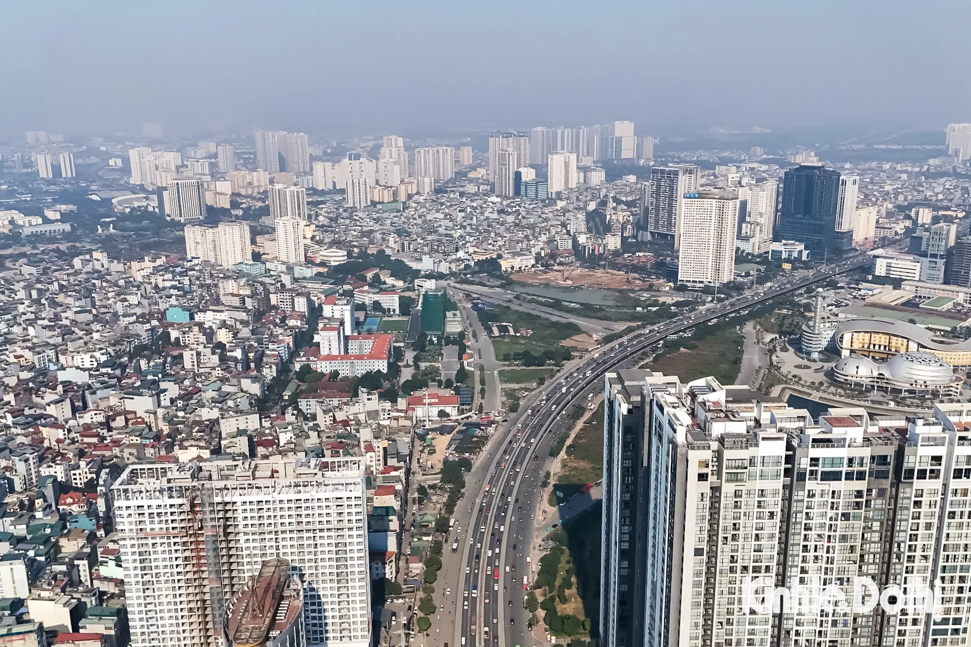
Long Bien district
Long Bien is a modern urban district of Hanoi, Vietnam, established in 2003 from parts of former rural districts. Its most iconic landmark is the historic **Long Bien Bridge**, built by the French from 1899-1902, which served as a vital transportation link and was heavily bombed yet survived during the Vietnam War. Today, the district is a key development area, blending rapid urbanization with this powerful symbol of colonial history and wartime resilience.