A significant milestone in national oceanography has been achieved through the Indonesia-China marine research collaboration. During the eighth edition of the IMPOLSE (Indonesia Maritime and Pacific Ocean Longterm Scientific Expedition) 2025, the team successfully retrieved a high-frequency deep-sea mooring (observation buoy) in eastern Indonesian waters.
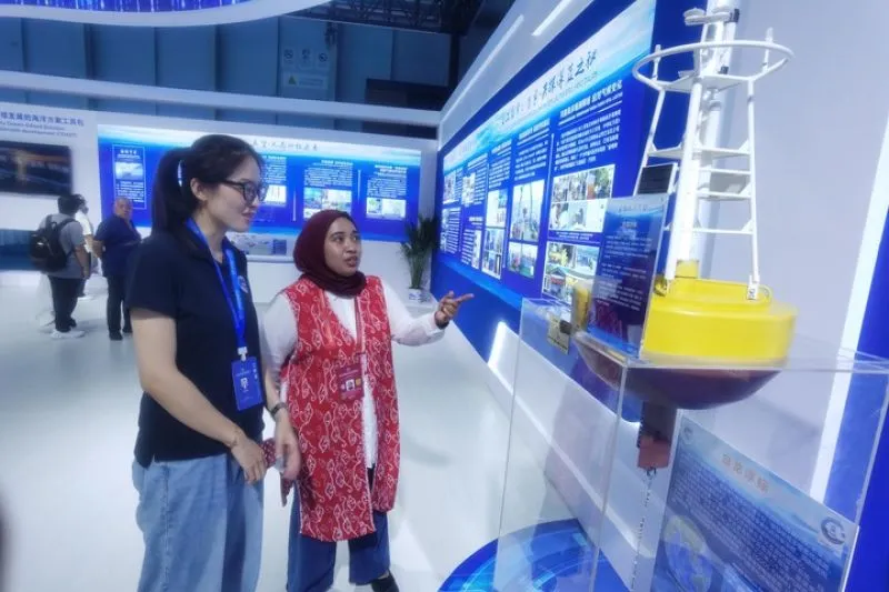
The expedition, which ran from late November to late December 2025, focused on new-generation instruments that had been deployed since November 2023 at three crucial points: the northern Lombok Strait, the Labani Channel in the Makassar Strait, and the western part of the Maluku Sea.
Detection of Giant Solitary Waves
The advantage of high-frequency mooring lies in its ability to record oceanic variability with a level of precision far exceeding conventional instruments. This achievement opens up high temporal resolution for studying fast ocean dynamics, such as internal solitary waves, which were previously difficult to detect in detail.
“The amplitude of internal solitary waves, previously estimated from satellite imagery to range between 40 and 80 meters, can actually exceed 100 meters according to mooring data. This value is comparable to the maximum amplitude observed in the Lombok Strait.”
Advanced Technology and Cross-Disciplinary Integration
The IMPOLSE 2025 expedition was divided into two stages: the retrieval of moorings and advanced data collection in the eastern Maluku Sea and the Lifamatola Passage. Measurements were conducted with sophisticated instruments, including a Vertical Microstructure Profiler (VMP) and a Conductivity Temperature Depth (CTD) device.
The use of the VMP in this research is highly significant, making it the only instrument of its kind used in Southeast Asia.
Beyond physical oceanography, this collaboration integrates cross-disciplinary studies, encompassing microplastic research, biofouling, and the microbiology of microplastic degradation. It is hoped that this high-resolution observational data will form a vital scientific foundation for global climate modeling, the advancement of marine science, and the sustainable management of marine resources in Indonesia and across the wider Asian region.