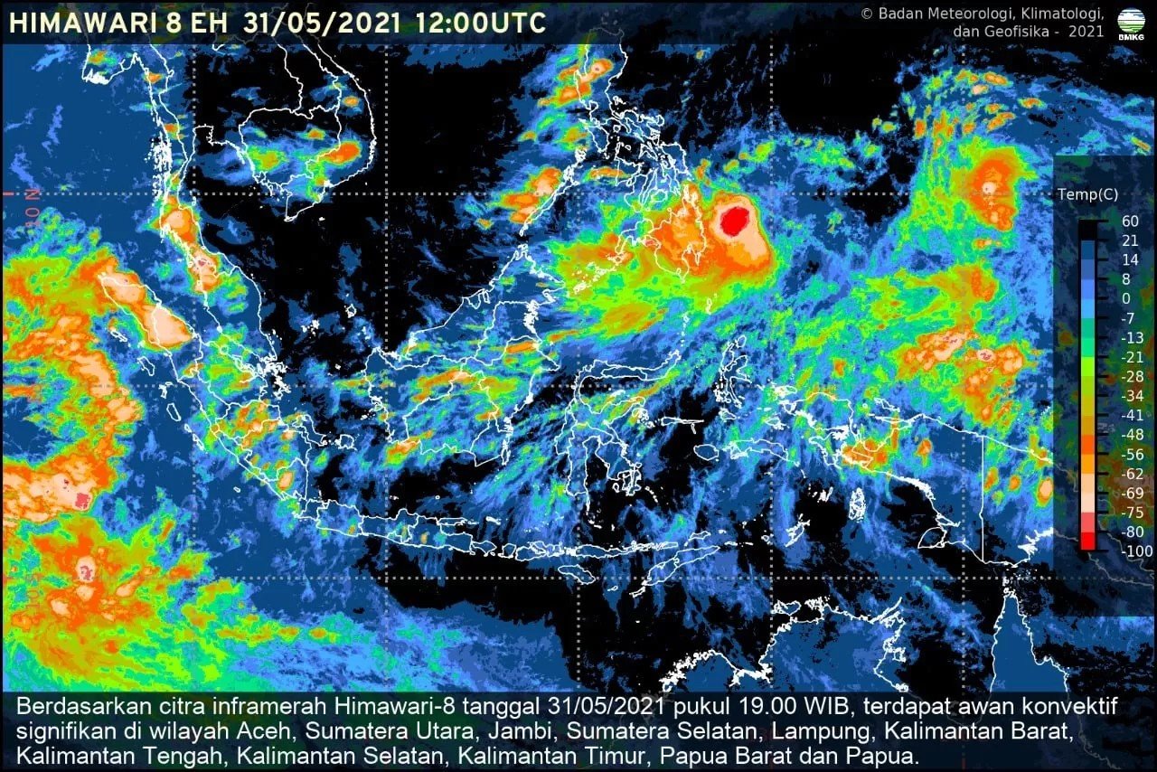
The Meteorology, Climatology, and Geophysics Agency () has urged the public, especially those in coastal areas and maritime workers, to be cautious of potential extreme weather conditions. This situation is an indirect effect of Cyclone Wipha.
“Tropical Cyclone Wipha is currently monitored at 19.9 North Latitude and 119.7 East Longitude, with maximum wind speeds of 45 knots (approximately 85 km/h) and a minimum air pressure of 985 hPa,” said the Director of Public Meteorology, as reported on Saturday (19/7).
According to the agency, within the next 24 hours, the cyclone is expected to intensify to Category 2 and move northwest, away from Indonesian territory. However, the cyclone, which formed north of the Philippines, may still have indirect effects on weather conditions in several regions, requiring vigilance.
The agency predicts strong winds may occur in the Riau Islands, North Kalimantan, East Kalimantan, and North Sulawesi between 19–20 July 2025.
This condition poses risks to public activities, particularly maritime transport and traditional fishing. Waves of 1.25 to 2.5 meters are also expected in several waters, including the Sulawesi Sea, Sangihe-Talaud Islands waters, the Maluku Sea, the northern Pacific Ocean near Maluku and West Papua, as well as the northern and central parts of the Makassar Strait.
The agency advises maritime workers, ship operators, and coastal communities to monitor wave conditions before activities and postpone voyages if conditions are deemed unsafe.
“Monitor official updates and stay alert to rapid weather changes due to atmospheric dynamics influenced by regional cyclone systems,” the Director added.


